Elma, WA
Chehalis River Mile 13-20 Assessment, Planning, and Design
Client Name
Related Service
Related Sector
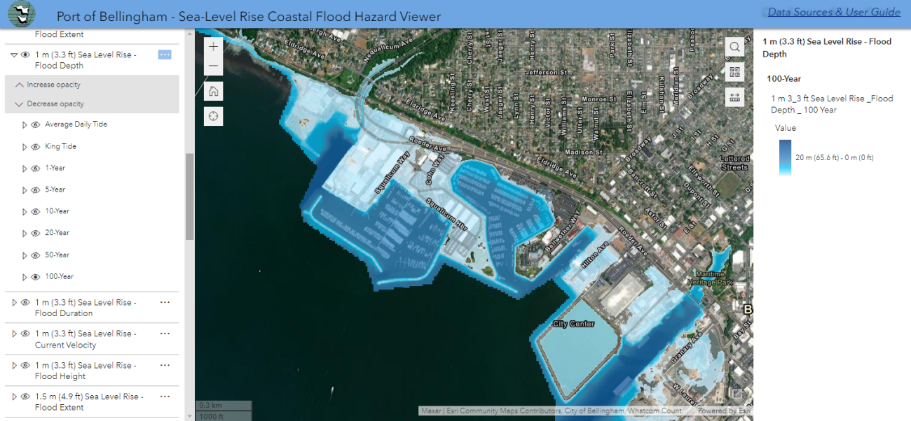
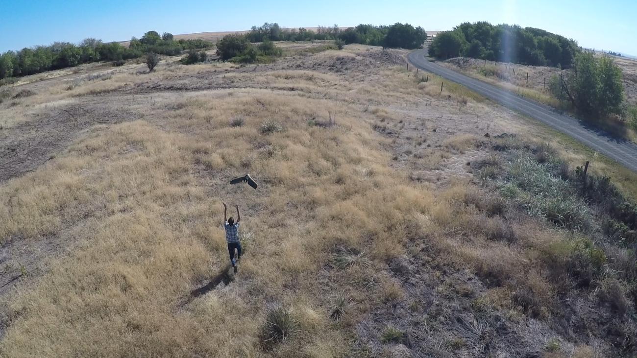
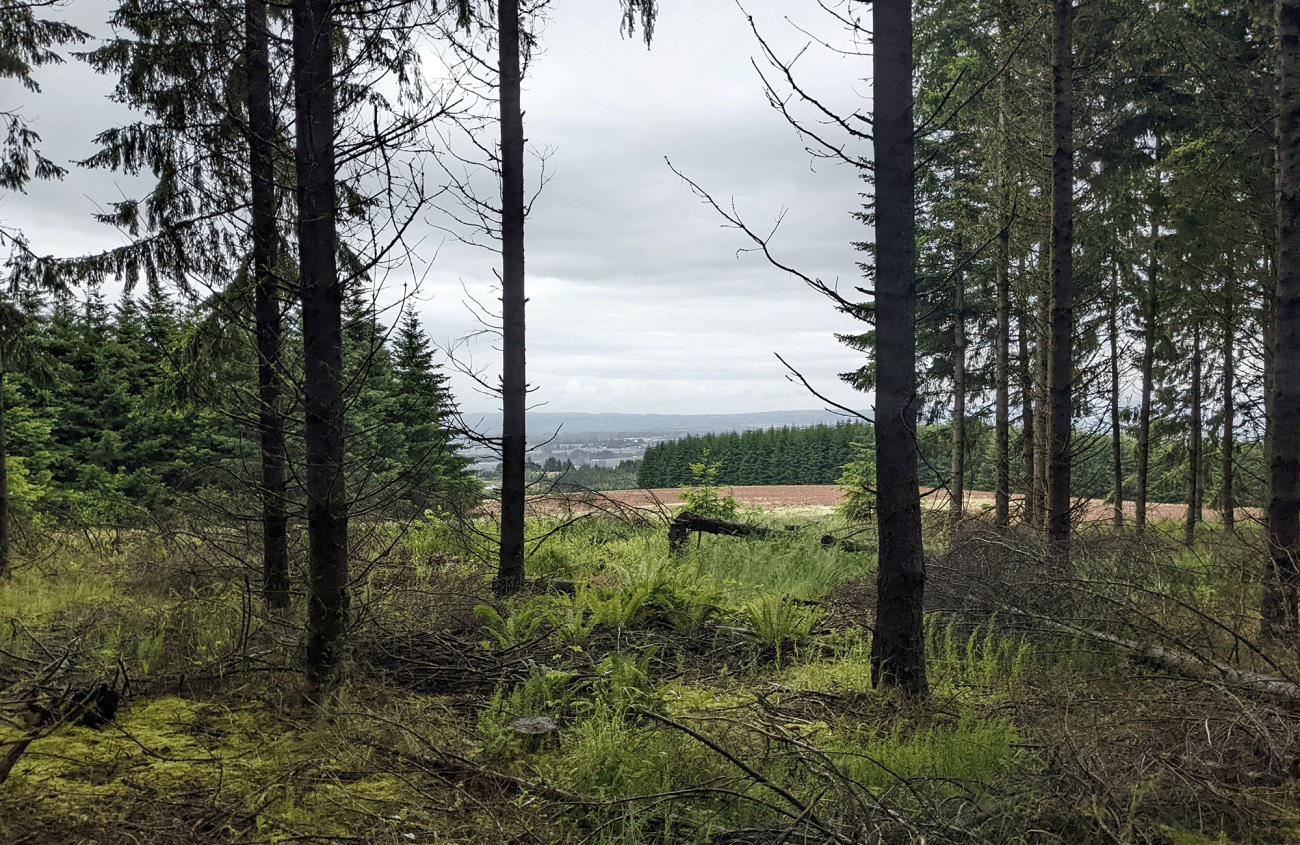
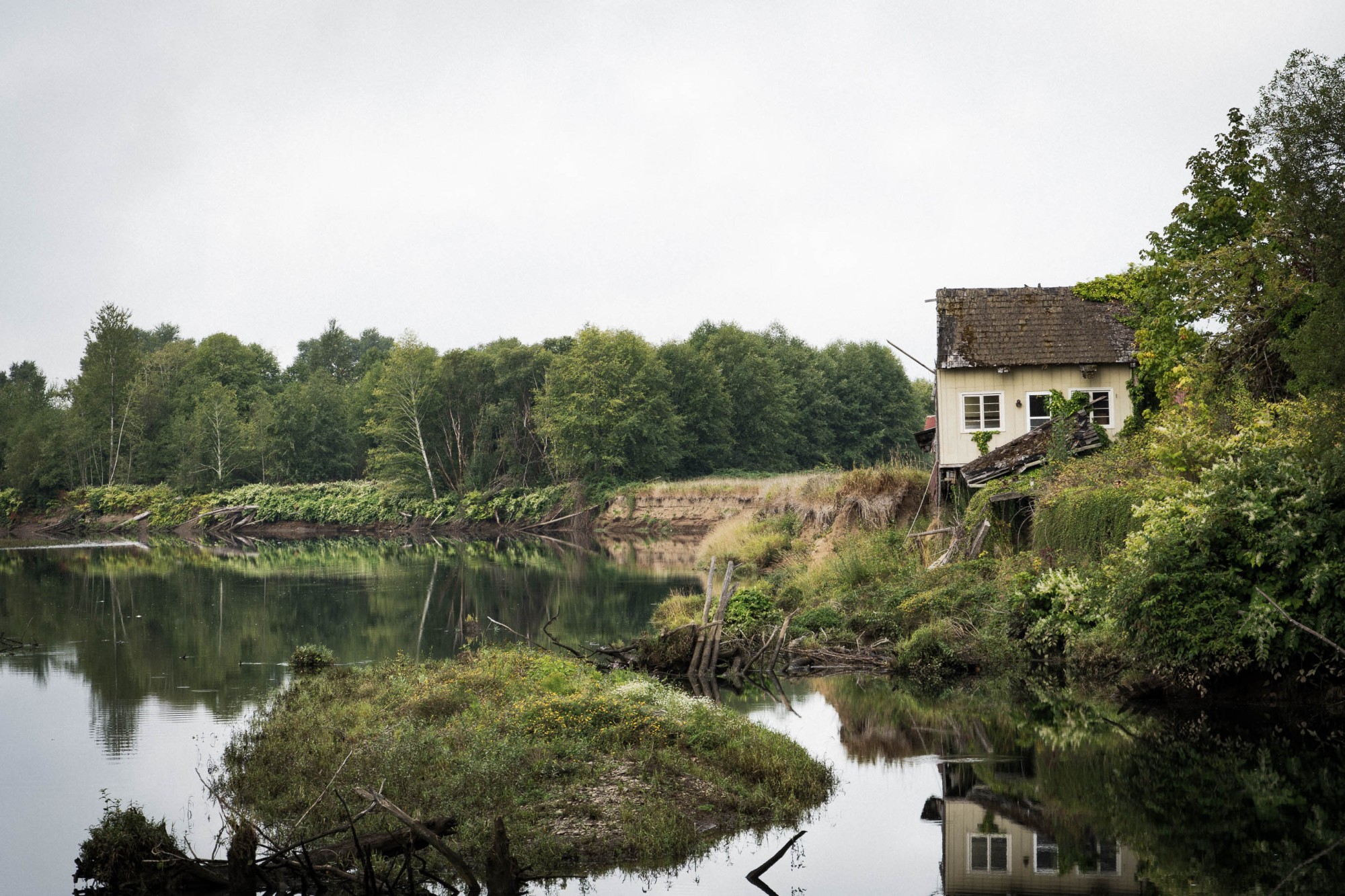
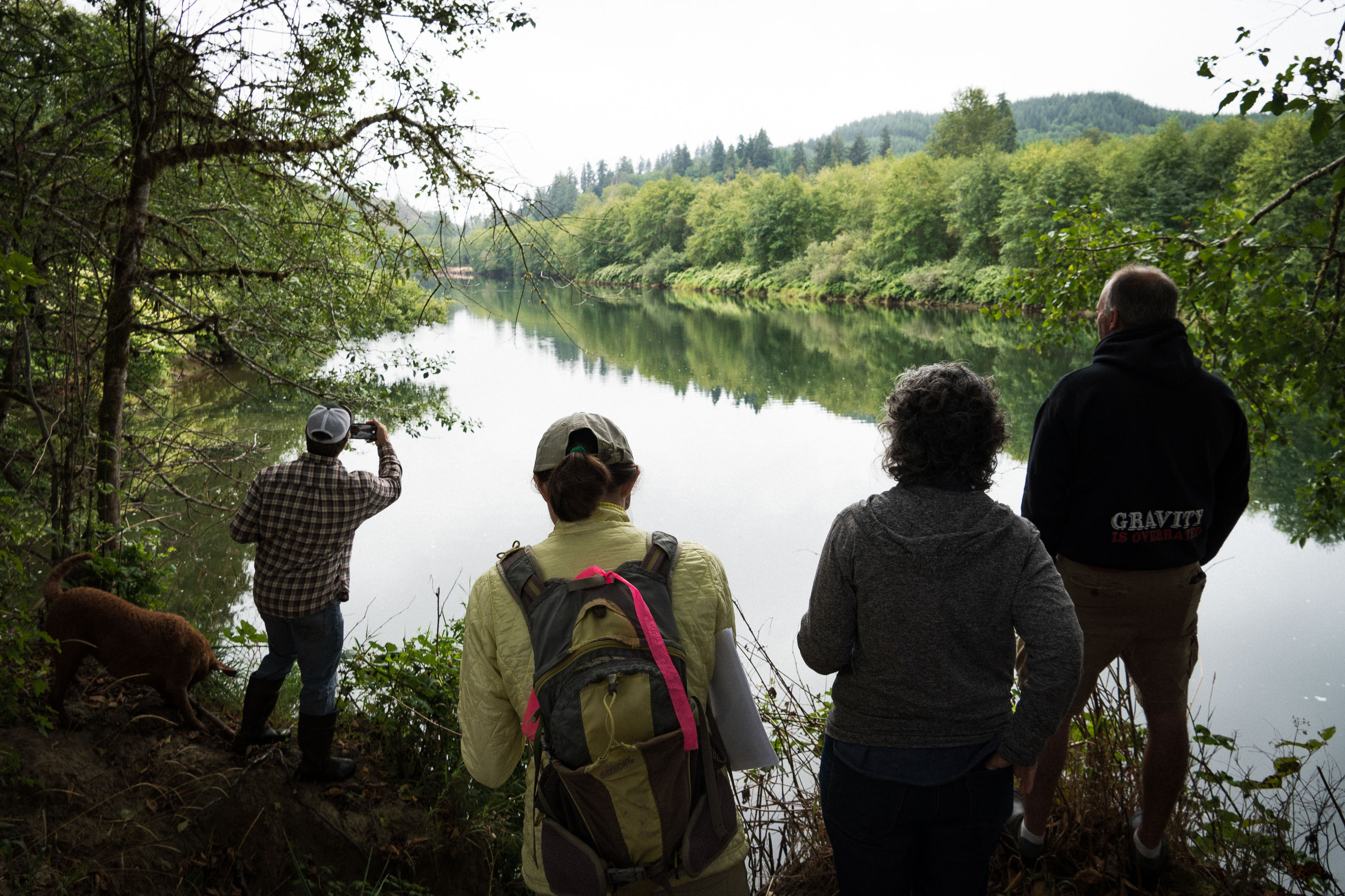
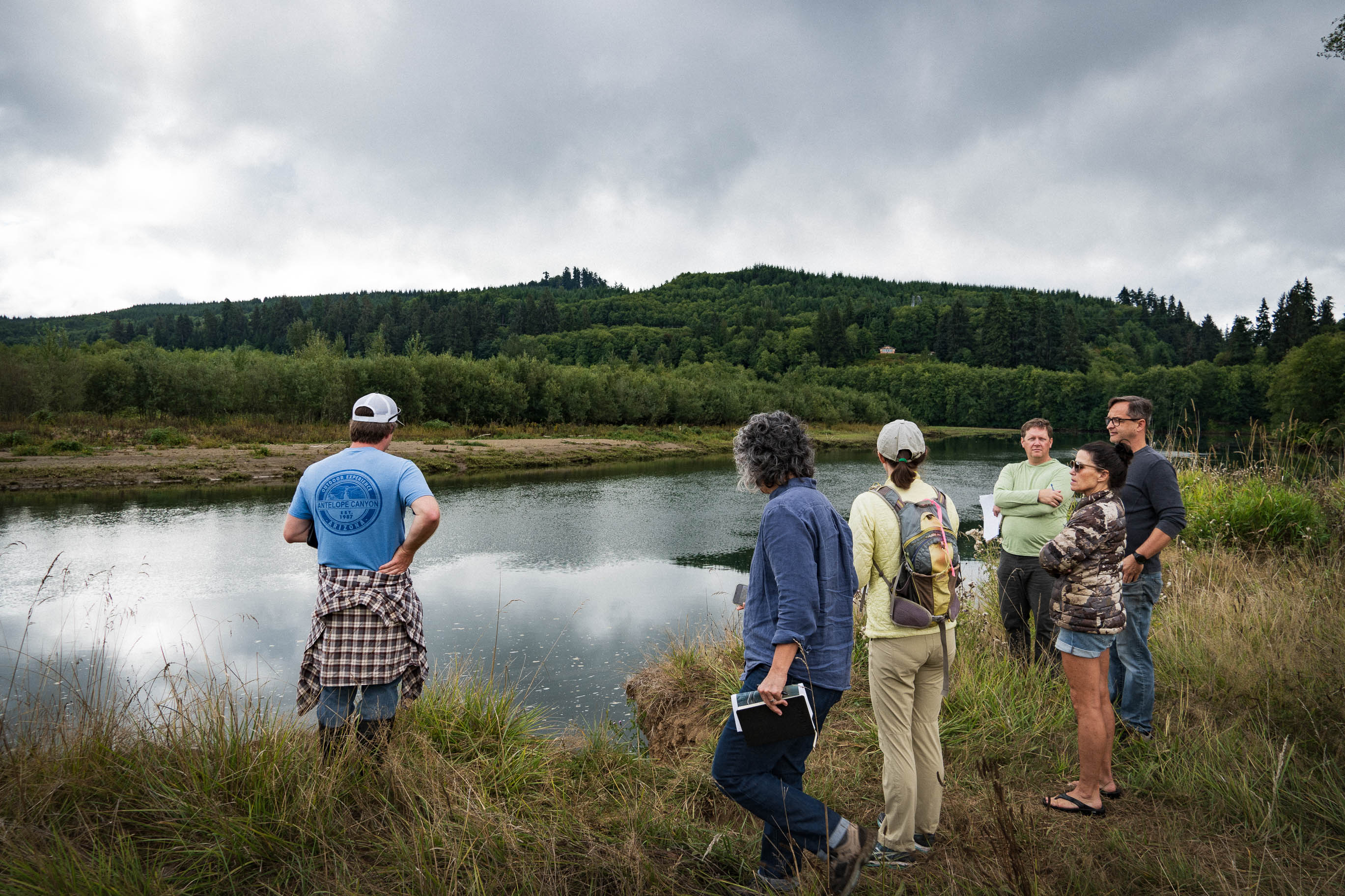
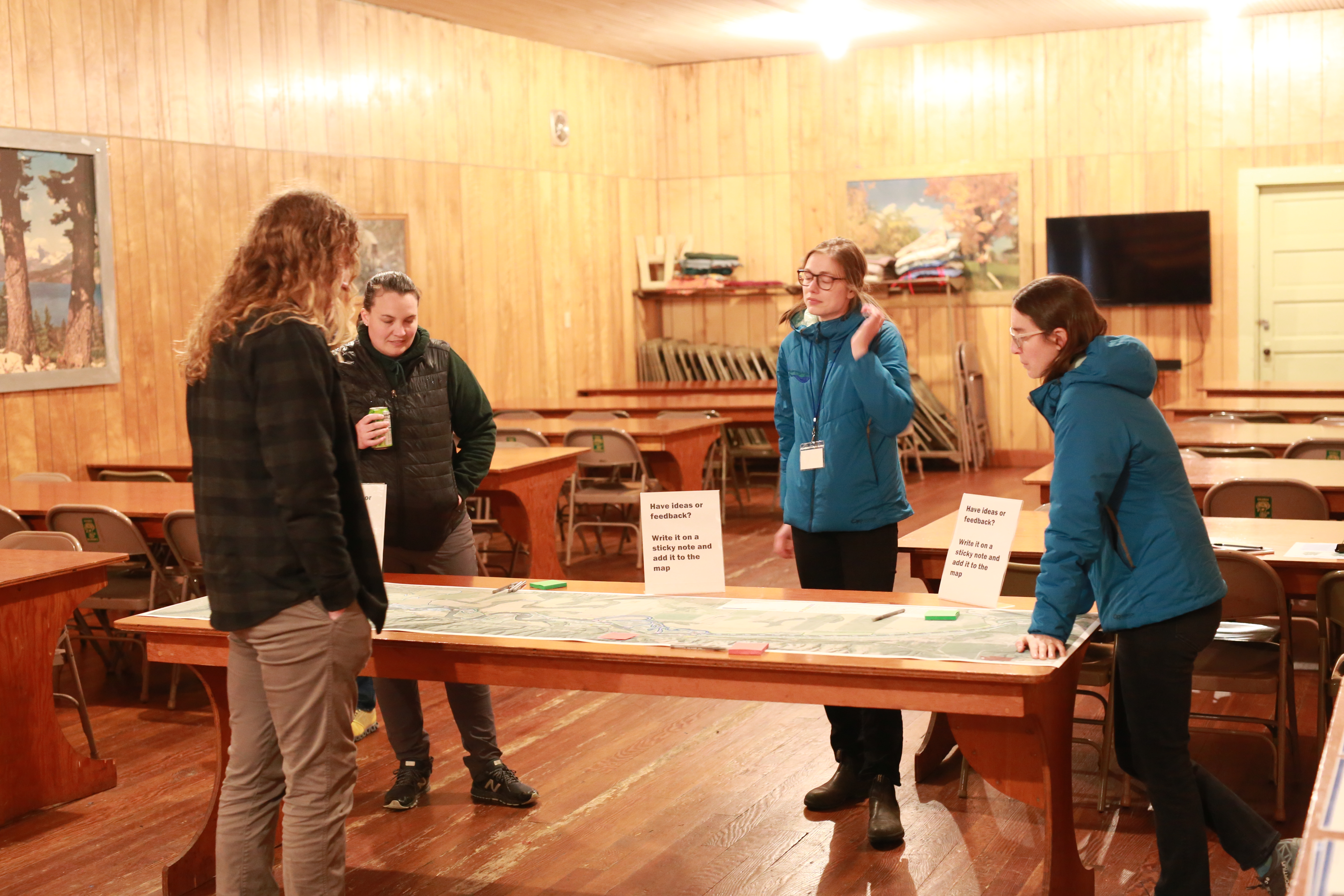
MFA worked with the Grays Harbor Conservation District to develop an infrastructure, agriculture, habitat, and flood damage resilience plan for a seven-mile stretch of the Chehalis River between Montesano and Satsop, Washington. This reach of the Chehalis is experiencing high rates of erosion, degraded aquatic habitat, and increasing ocean tidal influence due to climate change. Partnering with Natural Systems Design, MFA conducted a robust public engagement campaign to the local community, reaching out to property owners, neighboring residents, permitting agencies, and environmental groups to gather feedback on the priorities for enhancing this crucial stretch of river.
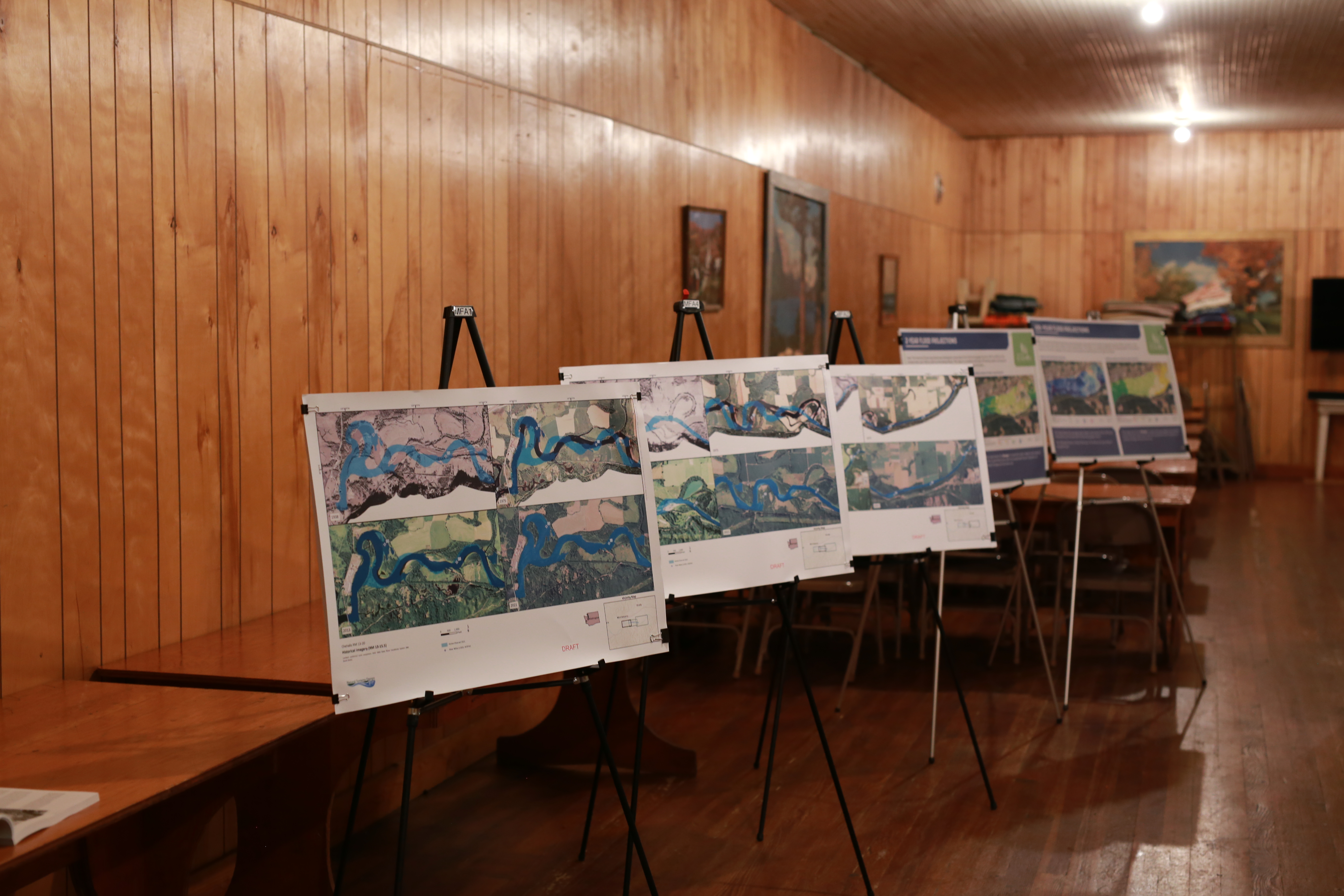
The feedback, as well as the technical analysis performed by Natural System Design, was integrated by staff from MFA’s community planning group into a comprehensive, engaging investment plan that details the history, current landscape, flood projections, potential interventions and priorities for investment in the Chehalis River. The investment plan is a crucial step in securing funding for future conservation projects that will protect natural resources, infrastructure, and the way of life for the communities that span the Chehalis River valley.
Learn More
Contact Us!
Thank you for your interest in MFA! Whether you are looking to inquire about a project or are interested in learning more about our services, please reach out to the MFA Team!