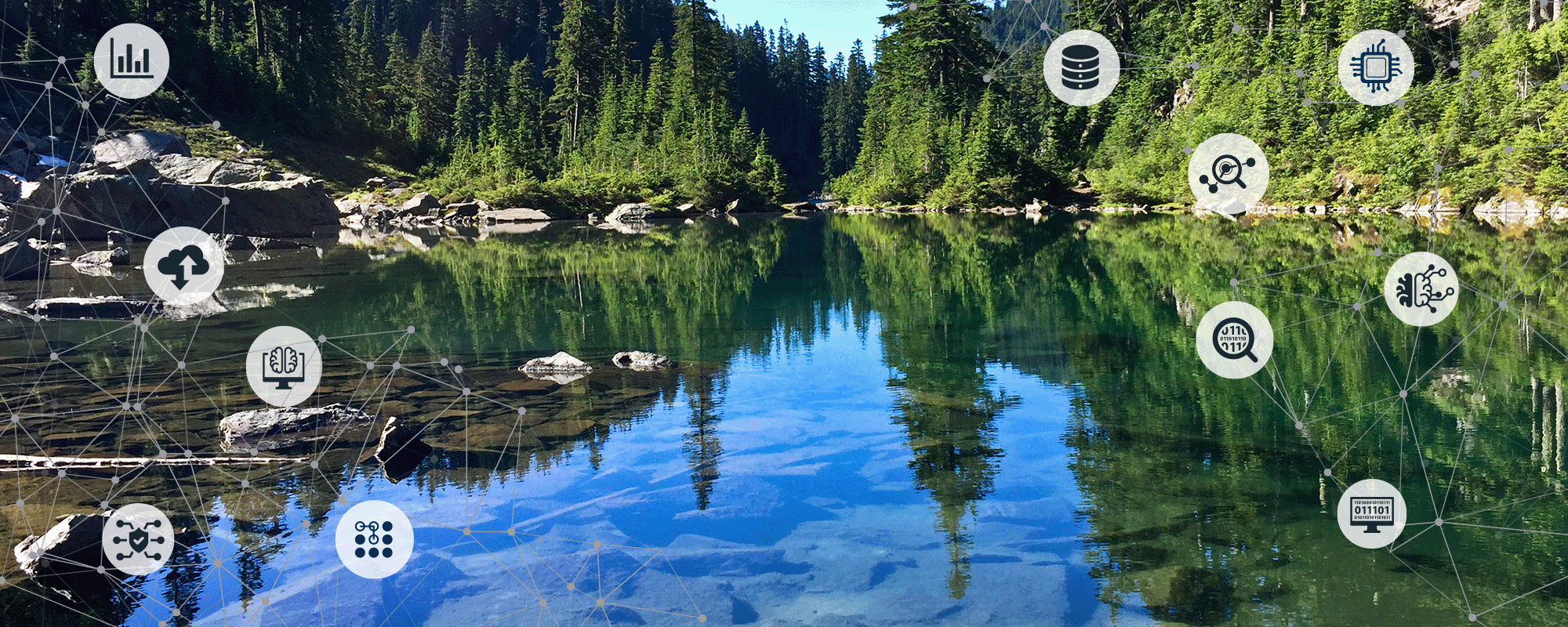
Data Analytics
Our Geographic Information Systems (GIS) experts, data analysts, demographers, planners, and environmental scientists help make sense of the data you have, collect the data you need, and discover the data you didn’t know existed. Data in hand, we transform them into actionable information by building tailored solutions that reveal the insights you need to drive organizational success.
Services Provided
Data Analytics
Climate Resiliency
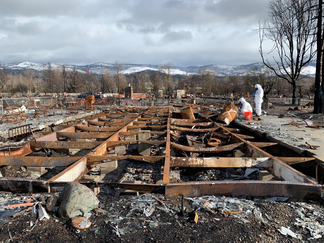
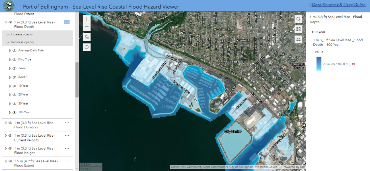
Our team of environmental professionals and data analysts leverage our expertise in GIS, data analytics, and climate science to guide organizations in preparing for and adapting to the challenges posed by climate change. We aim to enhance resilience, mitigate risks, and ensure long-term sustainability for our clients’ investments in people and infrastructure.
Our Climate Resiliency services include:
- Climate vulnerability assessment
- Sea level, flood, erosion, and wildfire risk
- Fire response and recovery
Demographic Services
Our team of demographers and geographers apply their extensive experience with population, housing, and socioeconomic data to support informed decision making and planning. We offer a host of services ranging from the assessment of demographic trends and analysis of spatial relationships to the preparation of population and student enrollment forecasts.
Our Demographic services include:
- Population estimates
- K-12 student enrollment forecasting
- Community needs assessments
- Housing demographic studies
- Redistricting
- Environmental justice analysis
Environmental Data Management
Our team of chemists and environmental professionals provide comprehensive solutions for businesses seeking to efficiently plan, collect, interpret, and deliver environmental data. With a focus on advanced data analytics, industry best practices, and cutting-edge data management systems, we help clients make informed decisions, ensure compliance, and seek appropriate solutions for projects from the simple to the very complex. Our practices and procedures ensure that your data are secure, quantifiable, and legally defensible.
Our Environmental Data Management services include:
- Environmental chemistry
- Environmental database management
- EQuIS Enterprise Dashboards
- Field sampling logistics
- Lab coordination and methodology
- Quality assurance and quality control
- Data validation (EPA Stages 1, 2a, 2b, and 4)
- Custom reporting
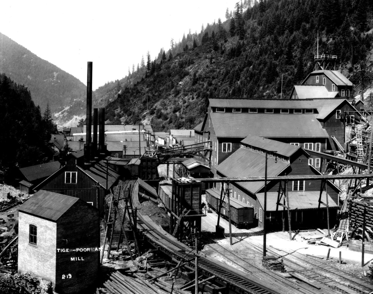
Environmental Site Characterization
Our team of data analysts and environmental professionals specialize in utilizing GIS, contaminant fate and transport modeling, and 3D surface and subsurface tools to provide comprehensive assessments and data-driven insights. We help clients understand and manage environmental conditions, ensuring informed decision making and regulatory compliance for a wide range of environmental projects.
Our Environmental Site Characterization services include:
- Conceptual site modeling
- Contaminant fate and transport modeling
- 3D surface, terrain, and change detection
- 3D subsurface geologic and contaminant plume modeling
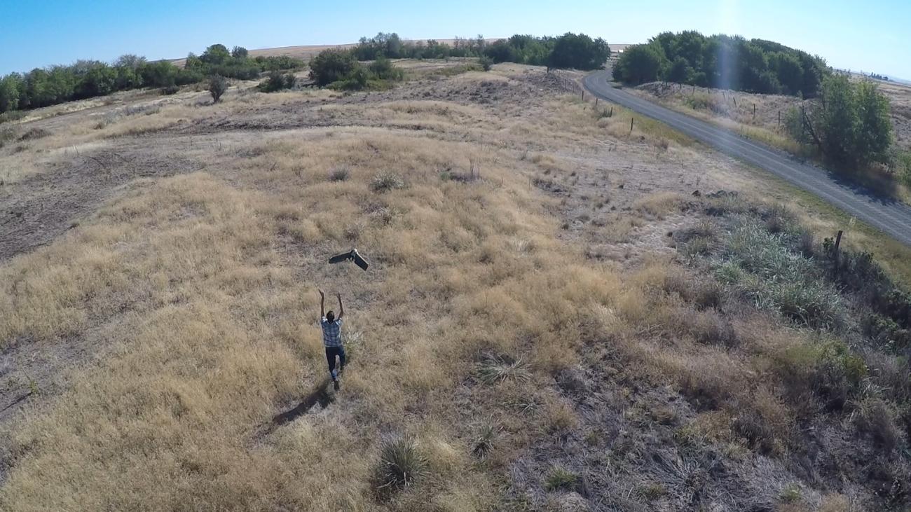
- Unmanned aircraft systems (UAS) orthoimagery, video, and 3D modeling
GIS Program Development
Our team of GIS professionals specialize in crafting tailored GIS solutions that cater to your organization’s specific needs. From initial consultation to system implementation, we provide comprehensive support to help you harness the power of spatial data for informed decision making and improved operations.
Our GIS Program Development services include:
- Rapid needs assessment
- GIS needs assessment
- GIS strategic plans
- Enterprise GIS
- Asset inventory, inspections, operations and maintenance
- Web/mobile mapping
- Esri Utility Network Services
- Asset management systems integration
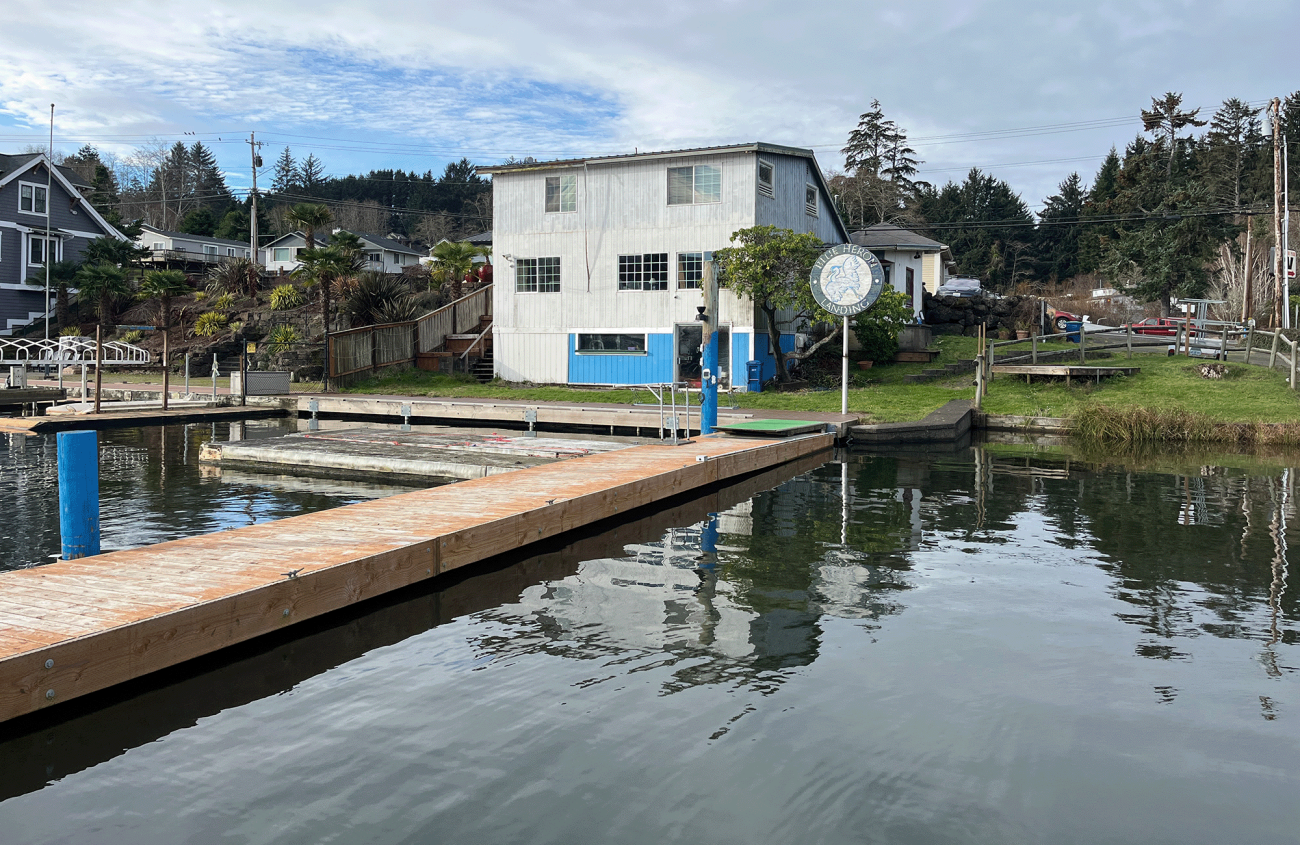
Natural Resources and Conservation
Our team of environmental professionals and data analysts specialize in leveraging GIS and advanced data analytics to support sustainable management of our forests, water, and land. We offer tailored strategies and expertise to help organizations make data-driven decisions to further their goals and missions.
Our Natural Resources and Conservation services include:
- Conservation planning
- Land use/land cover analysis
- Surface and terrain analysis
- Habitat restoration
- Terrestrial resilience analysis
- Fire response and recovery
- Climate resiliency
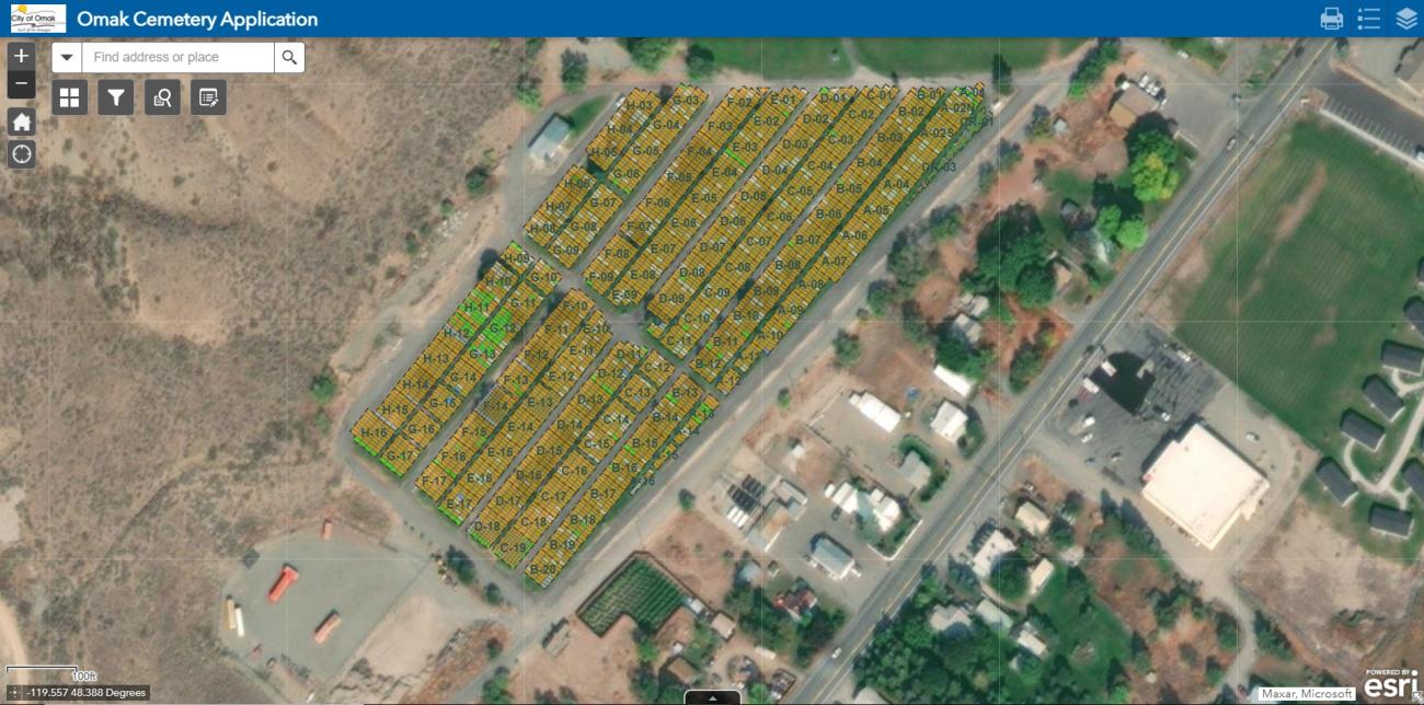
Public Engagement Tools
Our geographers and communications strategists assist organizations with innovative strategies and technologies that support community engagement, such as interactive web maps and dashboards that enhance stakeholder involvement and communication. We offer tailored solutions that foster meaningful interactions and build strong, lasting relationships with your audience.
Our Public Engagement Tools include:
- Esri StoryMaps
- Esri Hubs and Open Data Portals
- Surveys and participatory maps
- Web maps and dashboards
- UAS photography and video
Redistricting
We are experienced cartographers, demographers, census data experts, and public engagement professionals ready to support your redistricting process, no matter how simple or complex it may be. Work with us, and you’ll be using the best analytical methods to ensure your redistricting initiative is transparent and data-driven and complies with federal, state, and local regulations.
Our Redistricting services include:
- Mapping and line drawing
- Demographic analysis
- Census Bureau data expertise
- Redistricting tools and web applications
- Training and public engagement
- Community outreach and engagement
- Converting at-large to by-district
- Voting precinct adjustments
Location Intelligence
Our team of GIS analysts and data professionals use GIS-based spatial analysis to help clients make informed, defensible decisions about where to invest, build, and serve their communities. We evaluate how factors such as accessibility, market conditions, land use, environmental constraints, and infrastructure influence project feasibility. Building on our site selection and suitability experience, we apply clear, data-driven analysis to reduce risk, understand tradeoffs, and support projects from planning through implementation.
Our Location Intelligence services include:
- Affordable housing site selection and analysis
- Market and demographic analysis
- Redevelopment and infill opportunity analysis
- Brownfields inventory, mapping, and analysis
- Site criteria development and site selection
- Infrastructure and facility site selection analysis
- Service area and accessibility analysis
- Interactive maps, dashboards, and decision-support tools
Contact
Data Analytics Inquiries
Thanks for your interest in MFA. Whether you are looking to start a project, get support, or just have a general question, we'd like to hear from you. Please reach out and we will get back to you.